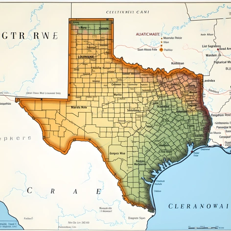
brownsville map texas
Resize and add details
Convert to video
Outpaint the rest of the image
Additional Info
Steps39
Samplereuler_a
CFG Scale9.9
Seed351693049
Enhanced PromptBrownsville, Texas, map, showcasing the southernmost city in the United States, situated in Cameron County, along the U.S.-Mexico border, a vibrant urban landscape nestled between the Rio Grande River and the Gulf of Mexico, rich in history, culture, and natural beauty, featuring a mix of historic architecture, modern developments, and protected wildlife areas, a melting pot of Mexican and American influences, with a strong sense of community and a thriving economy, the map highlighting key landmarks, such as the Charro Days festival grounds, the Brownsville Museum of Fine Art, the Historic Brownsville Museum, the Old City Cemetery, the Fort Brown Memorial Center, the University of Texas at Brownsville, the Texas Southmost College, the Brownsville Public Library, the Cameron County Courthouse, the U.S. Customs and Border Protection Port of Entry, the Brownsville-Harlingen International Airport, the Port of Brownsville, the Rio Grande River, the Gulf of Mexico, the South Padre Island, the Laguna Atascosa National Wildlife Refuge, the Resaca de los Fresnos, the Resaca de los Fresnos City Park, the Brownsville Sports Park, the Veterans Memorial High School, the Hanna High School, the Porter High School, the Lopez High School, the Pace High School, the Stell Middle School, the Perkins Middle School, the Cummings Middle School, the Vela Middle School, the Farias Elementary School, the Del Castillo Elementary School, the Egly Elementary School, the Champion Elementary School, the Keller Elementary School, the Martin Elementary School, the Morningside Elementary School, the Russell Elementary School, the Skinner Elementary School, the Southmost Elementary School, the Vermillion Elementary School, the Victoria Heights Elementary School, the Villa Nueva Elementary School, the West Brownsville Elementary School, the Yturria Elementary School, the main roads, such as U.S. Highway 77, U.S. Highway 281, Texas State Highway 4, Texas State Highway 48, Texas State Highway 100, FM 802, FM 1419, FM 1732, FM 3069, the city limits, the county lines, the surrounding cities, such as Harlingen, San Benito, Los Fresnos, Port Isabel, South Padre Island, and Matamoros, Mexico, the map rendered in a detailed, colorful, and easy-to-read format, suitable for navigation, education, and tourism.