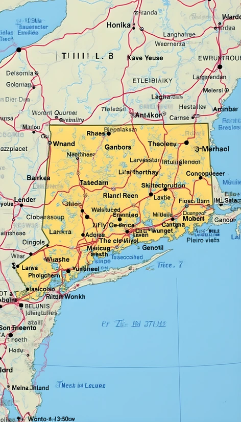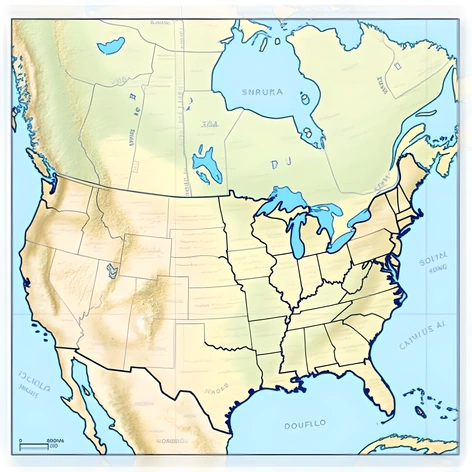
east coast usa map
Resize and add details
Convert to video
Outpaint the rest of the image
Additional Info
Steps23
Samplereuler_a
CFG Scale6
Seed79742555
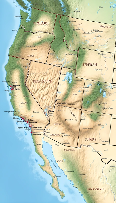
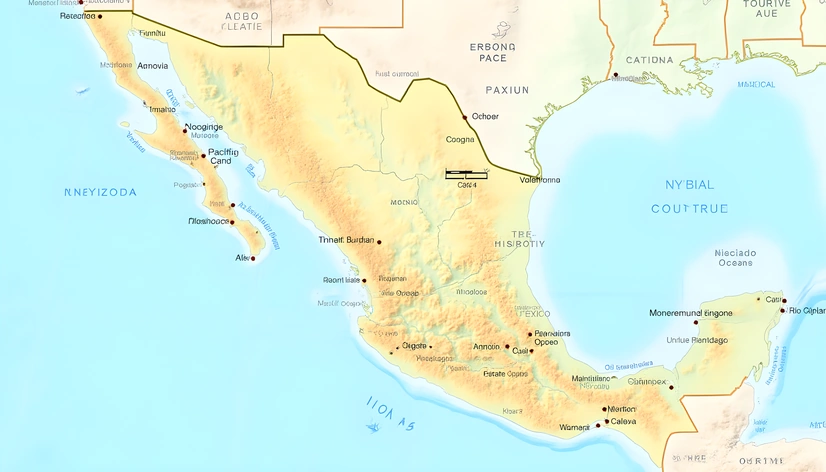
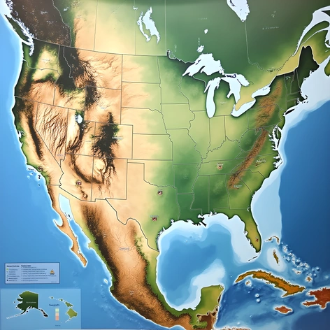
Enhanced Promptdetailed illustration of East Coast USA map, geographical features meticulously rendered, Atlantic coastline stretching from Maine to Florida, prominent cities and state capitals precisely pinpointed, intricate network of roads and highways connecting major metropolitan areas, Appalachian Mountains and coastal plains accurately represented, scenic beauty of New England's fall foliage and Florida's Everglades subtly incorporated, iconic landmarks like Statue of Liberty, Independence Hall, and Kennedy Space Center carefully placed, vibrant colors and textures capturing the region's diverse geography and climate, map projection precisely calibrated to ensure accurate representation of distances and relationships between locations, scale and legend thoughtfully integrated to facilitate navigation and exploration, digital painting technique blending traditional and modern cartographic styles, richly detailed and visually appealing, recalling classic maps of the region while incorporating contemporary flair, inviting the viewer to explore the East Coast's rich history, culture, and natural beauty, suitable for educational, travel, or decorative purposes, created in Adobe Illustrator, dimensions 3000 x 4000 pixels, 300 DPI resolution, RGB color mode.