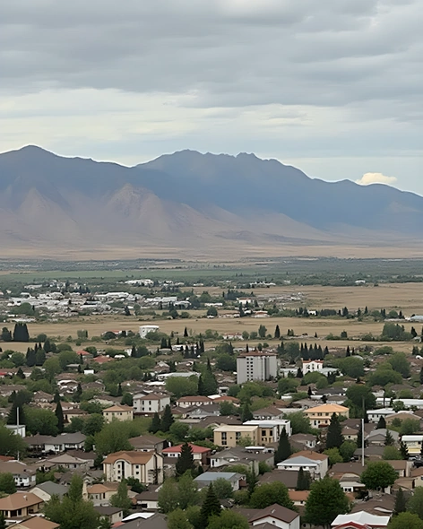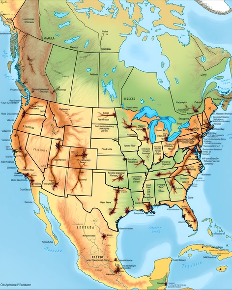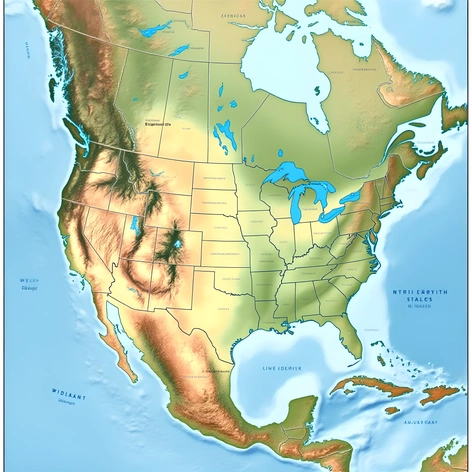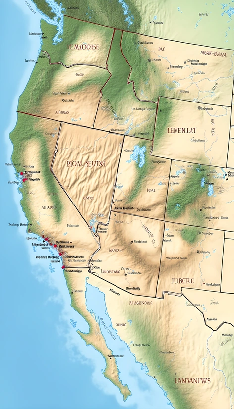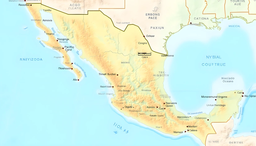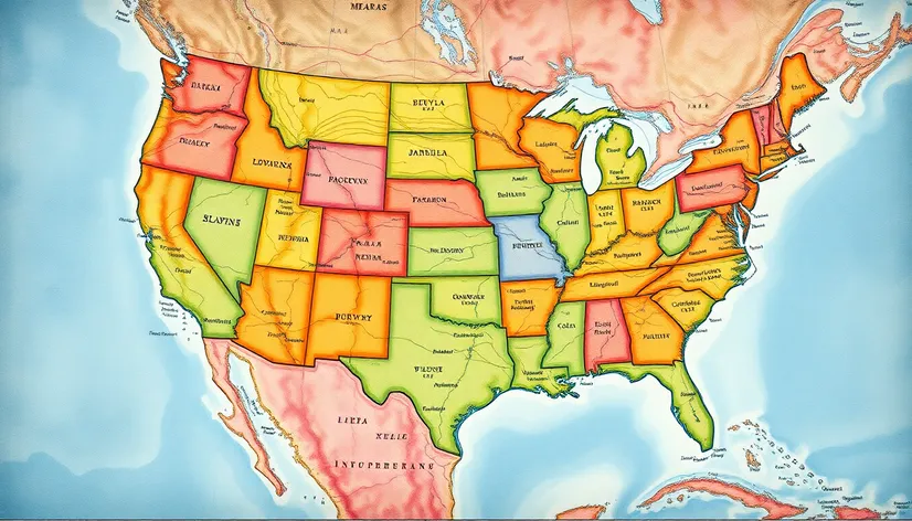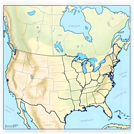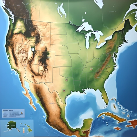
mt usa map
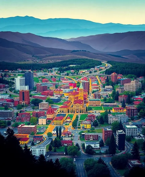
Resize and add details
Convert to video
Outpaint the rest of the image
Additional Info
ModelFlux
Seed2001607749
Enhanced PromptUnited States map, large-scale, high-resolution satellite imagery, prominent geographical features, clear labeling of state borders, shaded relief to emphasize topography, visible major cities, noticeable river systems, notable mountain ranges, desert regions, coastal areas, agricultural land usage, urban sprawl, distinct seasonal changes, winter snow cover, summer vegetation, prominent national parks, wildlife reserves, notable historical sites, cultural landmarks, prominent transportation networks, roadways, highways, railways, airports, waterways, lake systems, ocean coastlines, Alaska and Hawaii included, zoomed in on major metropolitan areas, contrast between natural and built environments, visible human impact on the landscape, data-driven visualization techniques, geographic information system (GIS) mapping, cartographic projections, UTM coordinates, latitude and longitude reference, spatial analysis, mapping software used, ArcGIS, QGIS, Google Earth, ESRI, OpenStreetMap, Mapbox, Leaflet, or similar platforms, color scheme emphasizing regional differences, legend and key providing context, scale bar indicating measurement units, north arrow pointing towards the top, printed on glossy paper, 36 inches wide, 24 inches tall, mounted on a sturdy board, displayed in a museum, educational purposes, teaching geography, geology, environmental science, history, culture, and sociology, visual representation of the United States' diverse landscapes, ecosystems, and human settlements, visually appealing and informative, easy to read and understand, accessible to people with disabilities, available online and offline, compatible with various devices and operating systems, frequently updated with new data and information, incorporating user feedback and suggestions, open-source code and data, community-driven development, cross-platform compatibility, intuitive interface, customizable layout and design, export options for different file formats, interactive elements, animations, and filters, real-time data integration, API connectivity, web services, and cloud hosting, secure authentication and authorization, access control and permission management, user roles and permissions, data encryption and backup, version control and change tracking, collaboration tools and features, project management and workflow automation, API documentation and tutorials, community support and resources, knowledge base and FAQs, forums and discussion boards, social media presence and engagement, press coverage and reviews, awards and recognition, case studies and success stories, testimonials and customer feedback, pricing plans and subscription models, free trial and demo versions, enterprise licensing and customization, support for multiple languages and currencies, compliance with accessibility standards and regulations, usability testing and user experience research, A/B testing and experimentation, user behavior analysis and analytics, heat maps and clickstream analysis, conversion rate optimization and funnel analysis, user segmentation and targeting, personalization and recommendation engines, content delivery network (CDN) and caching, load balancing and scalability, server-side rendering and caching, content