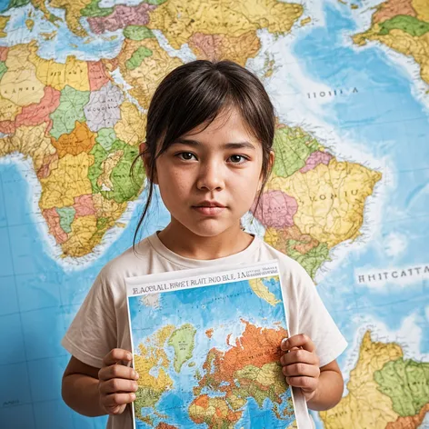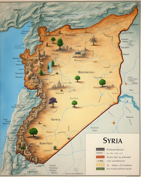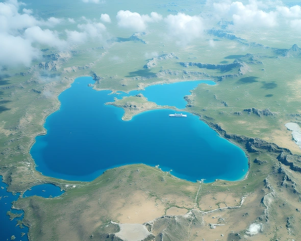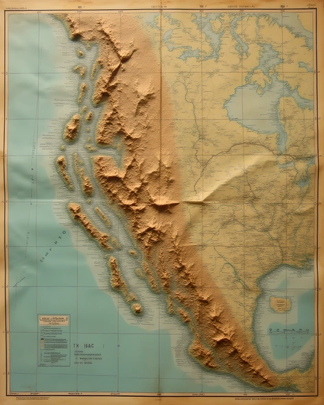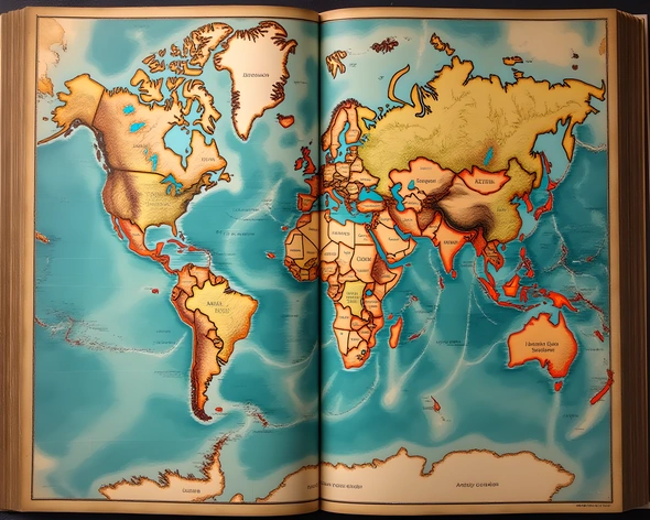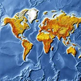
real world map
Resize and add details
Convert to video
Outpaint the rest of the image
Additional Info
Steps25
SamplerDPMSolver++
CFG Scale2
Seed793955850
Enhanced Prompthighly detailed real world map, Mercator projection, 1:1000000 scale, illustrating geographical features, country borders, major cities, rivers, lakes, mountains, forests, deserts, and ocean currents, Earth's terrain depicted in stunning detail, NASA Blue Marble Next Generation imagery, cloud-free composite, 12 months of satellite data, atmospheric effects removed, true-color representation, ocean bathymetry, sea floor topography, mid-ocean ridges, continental shelves, mountain ranges, impact craters, canyons, river deltas, islands, coral reefs, glaciers, ice caps, frozen tundra, lush forests, arid deserts, cultivated land, urban areas, industrial centers, transportation networks, shipping lanes, flight paths, railways, highways, detailed city plans, iconic landmarks, national parks, wildlife reserves, fragile ecosystems, threatened habitats, climate zones, weather patterns, global wind circulation, high and low pressure systems, oceanic and atmospheric circulation, thermohaline circulation, global conveyor belt, sea surface temperature, ocean acidification, polar ice coverage, melting glaciers, rising sea levels, climate change, human impact, environmental degradation, biodiversity loss, conservation efforts, protected areas, international cooperation, geographical data, spatial analysis, geospatial mapping, location-based services, navigation systems, remote sensing, satellite imaging, aerial photography, geographic information systems, cartography, mapmaking, spatial reasoning, geographical literacy, cultural awareness, global understanding, education, research, science, policy-making, decision-support, real-world applications, everyday life.