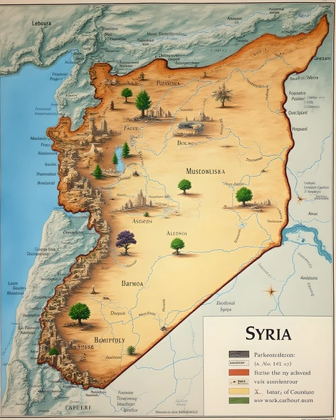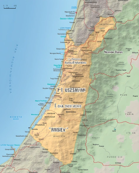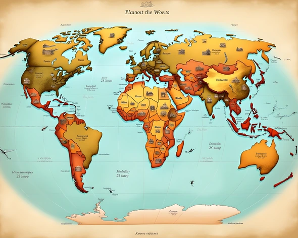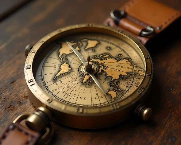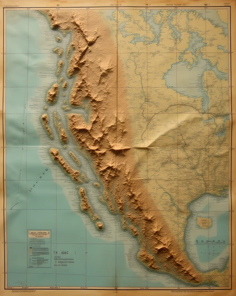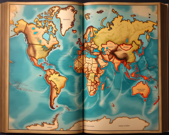
real world map
Resize and add details
Convert to video
Outpaint the rest of the image
Additional Info
Steps100
SamplerK_EULER_ANCESTRAL
CFG Scale6
Seed292140014
Enhanced Prompthighly detailed real-world map, accurate geographical features, precise country borders, labeled cities, towns, and villages, distinct road networks, railway lines, airports, and seaports, topographical details including mountains, valleys, rivers, lakes, and oceans, realistic color palette, subtle texture, and shading, Mercator projection, 2D representation, comprehensive legend and scale, longitude and latitude lines, grid pattern, detailed annotations, and labels, modern-day political boundaries, international borders, and territorial claims, up-to-date information on country names, capitals, and major cities, geographical coordinates, and spatial relationships, based on real-world satellite imagery, and geographical data, precise rendering of coastlines, islands, and archipelagos, accurate placement of notable landmarks, natural wonders, and cultural heritage sites, visually appealing, and informative, large-scale map, high-resolution, and print-ready, created using advanced cartographic software, and geographic information systems (GIS), data-driven, and research-based, reflecting current events, and global changes, essential for education, research, and navigation, suitable for academic, professional, and personal use.