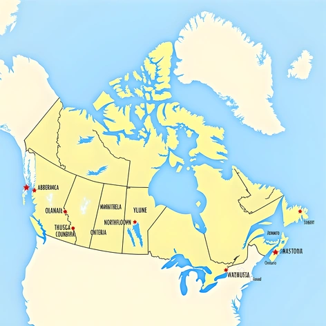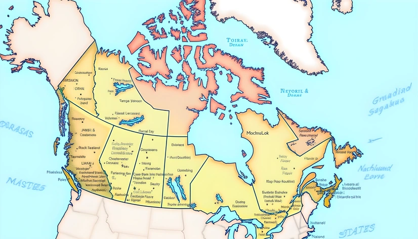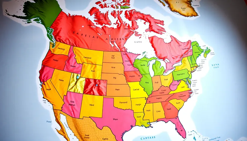
us map with canada
Resize and add details
Convert to video
Outpaint the rest of the image
Additional Info
Steps38
Samplerdpm++
CFG Scale8.1
Seed956114335
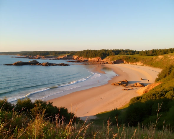
Enhanced PromptHighly detailed, accurate, and colorful map of the United States and Canada, showcasing each country's distinct geography, climate, and borders, a classic Mercator projection ensuring accurate proportions and clear visibility, intricate road networks and major highways, prominent cities and metropolitan areas, notable landmarks and natural wonders, such as the Grand Canyon, Mount Rushmore, and Niagara Falls, majestic mountain ranges, including the Rocky Mountains and the Appalachian Mountains, vast deserts, like the Mojave and Sonoran Deserts, expansive coastlines along the Atlantic, Pacific, and Arctic Oceans, and the Great Lakes, with Lake Superior, Lake Michigan, Lake Huron, Lake Erie, and Lake Ontario clearly defined, neighboring countries and territories, including Mexico, Alaska, and Greenland, subtly integrated into the design, with bold, easy-to-read labels and place names, in a clear, modern font, utilizing a harmonious color scheme, with shades of blue for water bodies, and a range of earthy tones for landmasses, forests, and mountains, creating a visually appealing contrast, while maintaining the map's informative and educational value, ideal for display in homes, offices, or educational institutions, printed on high-quality paper or canvas, with a durable finish, allowing for long-lasting use and appreciation.