cameroon country map
Resize and add details
Convert to video
Outpaint the rest of the image
Additional Info
ModelFlux
Seed1088036438
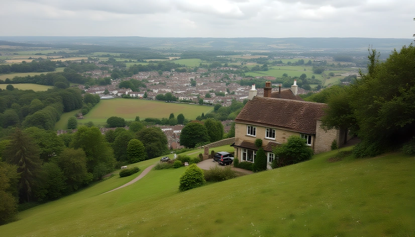
Enhanced Promptphysical geography, Cameroon, central western Africa, landlocked region, Chad to the north, Nigeria to the west, Central African Republic to the southeast, Republic of the Congo to the east, Gabon and Equatorial Guinea to the south, Atlantic Ocean to the southwest, tropical rainforest, savannas, mountains, Adamawa Plateau, volcanic peaks, Mount Cameroon, highest point, dense rainforests, mountainous regions, coastal plains, Lake Chad drainage basin, Sanaga River, Niger River, Benoue River, riverside settlements, rural villages, urban areas, Yaoundé, largest city, Douala, economic hub, major ports, Bafoussam, Bamenda, Kumba, Foumban, Mamfe, Nkongsamba, capital city, Yaoundé, government center, presidential palace, parliament building, cultural attractions, national museum, botanical gardens, sacred forests, traditional markets, local cuisine, street food, coffee culture, nightlife, music festivals, traditional dress, indigenous tribes, Pygmy people, Fulani herders, Hausa traders, Bamum kingdom, colonial history, French influence, German colonial rule, British colonial rule, post-colonial era, modernization efforts, economic growth, natural resources, oil reserves, timber industry, agriculture, banana plantations, cocoa production, tea plantations, coffee plantations, tourism development, wildlife conservation, protected areas, national parks, Waza National Park, Bouba Njida National Park, Korup National Park, Mount Cameroon National Park, unique biodiversity, flora and fauna, rare species, endangered animals, threatened ecosystems, sustainable development, environmental protection, eco-tourism initiatives, community-based projects, social responsibility, fair trade practices, local entrepreneurship, cultural preservation, traditional craftsmanship, handicrafts, textiles, woodcarvings, basketry, pottery, metalwork, jewelry making, musical instruments, dance performances, storytelling, folklore, mythology, oral traditions, written records, historical documents, archaeological sites, ancient artifacts, colonial-era architecture, modern buildings, skyscrapers, shopping centers, luxury hotels, restaurants, bars, nightclubs, casinos, entertainment venues, sports facilities, stadiums, arenas, soccer fields, basketball courts, tennis courts, golf courses, water sports, surfing, kayaking, fishing, hiking trails, trekking routes, mountaineering, rock climbing, paragliding, skydiving, bungee jumping, zip-lining, hot air balloon rides, scenic flights, helicopter tours, guided tours, adventure activities, outdoor pursuits, nature escapes, relaxation retreats, wellness resorts, yoga studios, spas, saunas, massage parlors, beauty salons, fitness centers, gyms, health clubs, medical clinics, hospitals, pharmacies, emergency services, police stations, fire departments, ambulances, taxis, buses, trains, airports, seaports, road networks, transportation infrastructure, public transportation systems, private car ownership, ride-hailing apps, bike-sharing programs, pedestrian-friendly zones, cycling paths, walking trails, public art installations, murals, sculptures, street performers, live music events, festivals, concerts, theater productions, comedy shows, stand-up comedy, improv performances, magic shows, circus acts, acrobatics, aerial performances, puppet shows, ventriloquism, juggling, unicycling, tightrope walking, balancing acts, contortionism, hula hooping, poi spinning, LED hula hoops, glow-in-the-dark performances, neon lights, strobe lights,