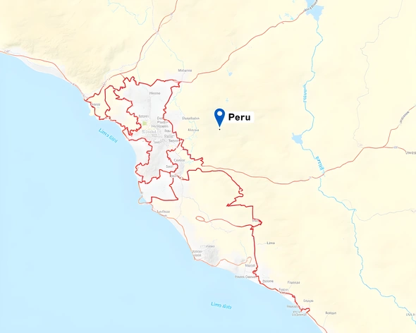
lima peru labled on map of country
Resize and add details
Convert to video
Outpaint the rest of the image
Additional Info
ModelFlux
Seed702502112
Enhanced PromptLima, Peru, capital city, located on the central coast, map marker, labeled prominently, blue dot, red outline, latitude 12.0400° S, longitude 77.0319° W, urban area, coastal desert climate, Pacific Ocean shoreline, Rímac River flowing through, Andean mountain range in the background, distinctively marked, tourist attractions nearby, including Plaza de Armas, Cathedral of Lima, Museo Nacional de Antropología, Huaca Pucllana archaeological site, prominent landmarks, easy-to-read font, clear labels, geographical information included, concise yet informative, visually appealing display, accurate representation, map scale 1:100000, south-southwest direction, Lima Region highlighted, neighboring regions shown, detailed topography, shaded relief, color-coded elevation, road network, transportation routes, key infrastructure, notable features, geographical context, educational purposes, geographical education, geographical awareness, map skills development, cartographic accuracy, precise labeling, clear visual hierarchy, map legend included, symbols used consistently, color scheme harmonious, easy to read, visually appealing design, geographic data up-to-date, reliable source, geographical knowledge, spatial awareness, mapping techniques, cartography, geographical literacy, educational resources, geographical education, map reading skills, geographical information system, GIS, mapping technology, geospatial analysis, spatial thinking, geographical concepts, mapping principles, cartographic representation, geographical data visualization, spatial reasoning, geographical literacy skills, geographical knowledge base, geographical education resources, mapping skills development, geographical data analysis, spatial data visualization, geospatial thinking, geographical information systems, mapping technologies, geographical mapping, cartography techniques, geographical data presentation, spatial data analysis, geographical literacy development, geographical knowledge expansion, cartographic skills, geographical education materials, geographical data visualization tools, spatial thinking abilities, geographical information management, mapping software, geographical data processing, spatial analysis, geographical literacy training, geographical knowledge acquisition, cartographic representation techniques, geographical data interpretation, spatial data presentation, geographical education resources, geographical literacy skills development, geographical knowledge base expansion, cartographic skills development, geographical data analysis tools, spatial thinking techniques, geographical information management systems, mapping software applications, geographical data processing techniques, spatial analysis methods, geographical literacy training programs, geographical knowledge acquisition strategies, cartographic representation methods, geographical data interpretation techniques, spatial data presentation tools, geographical education materials development, geographical literacy skills training, geographical knowledge base expansion strategies, cartographic skills training, geographical data analysis techniques, spatial thinking methods, geographical information management applications, mapping software development, geographical data processing strategies, spatial analysis techniques, geographical literacy training programs, geographical knowledge acquisition methods, cartographic representation techniques, geographical data interpretation methods, spatial data presentation applications, geographical education resources development, geographical literacy skills training programs, geographical knowledge base expansion methods, cartographic skills training programs, geographical data analysis methods, spatial thinking techniques, geographical information management strategies, mapping software applications development, geographical