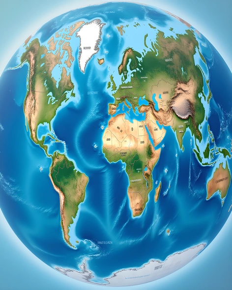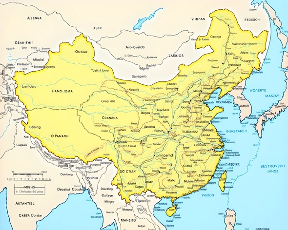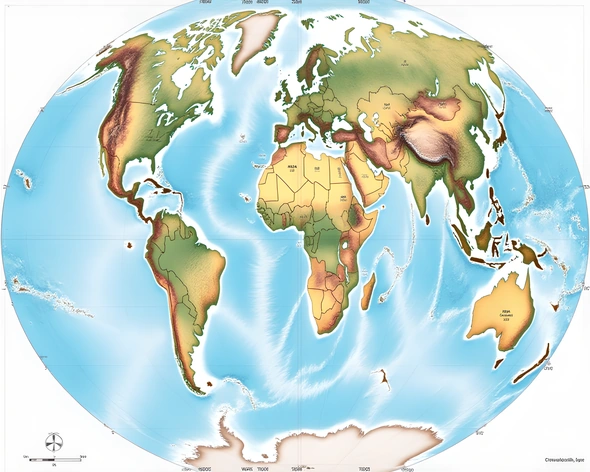
latitude and longitude map of the world
Resize and add details
Convert to video
Outpaint the rest of the image
Additional Info
ModelFlux
Seed1460624783
Enhanced Promptlatitude,0-90° north, 0-180° east, 0-360° azimuth, Mercator projection, equatorial line, prime meridian, Greenwich Mean Time zone, International Date Line, grid lines representing latitude and longitude, world map, global geography, spherical representation, geographic coordinate system, terrestrial mapping, spatial reference frame, geographic location, navigation, cartography, GIS data, spatial analysis, geospatial visualization, Earth's surface, spherical trigonometry, latitudes and longitudes intersecting, geographical coordinates, geodesic sphere, terrestrial globe, map projections, conformal mapping, cylindrical projection, azimuthal equidistant projection, polar stereographic projection, Robinson projection, Gall-Peters projection, Azimuthal equidistant projection, Bonne projection, Miller cylindrical projection, space-filling maps, geographic information systems, spatial data, georeferencing, spatial database management, spatial statistics, spatial modeling, remote sensing, GPS technology, triangulation, trilateration, cartographic generalization, topological relationships, spatial autocorrelation, spatial interpolation, spatial regression, spatial analysis software, ArcGIS, QGIS, GRASS GIS, PostGIS, GDAL, geoprocessing, spatial query language, spatial joins, spatial indexes, spatial data types, spatial functions, spatial operators, spatial predicates, spatial relationships, proximity analysis, network analysis, spatial autocorrelation, spatial clustering, spatial interpolation, spatial regression, spatial simulation, spatial optimization, spatial decision support systems, spatial planning, urban planning, transportation planning, emergency response planning, environmental planning, land-use planning, resource allocation, spatial analysis, geospatial analysis, geographic information science, geoinformatics, geomatics, geospatial engineering, geographic information systems engineering, geospatial intelligence, geospatial surveillance, geospatial monitoring, geospatial situational awareness, geospatial awareness, geospatial operations, geospatial training, geospatial education, geospatial research, geospatial development, geospatial innovation, geospatial entrepreneurship, geospatial consulting, geospatial services, geospatial products, geospatial solutions, geospatial applications, geospatial technologies, geospatial tools, geospatial platforms, geospatial infrastructure, geospatial networks, geospatial protocols, geospatial standards, geospatial interoperability, geospatial integration, geospatial federation, geospatial collaboration, geospatial sharing, geospatial reuse, geospatial preservation, geospatial curation, geospatial archiving, geospatial retrieval, geospatial querying, geospatial search, geospatial indexing, geospatial caching, geospatial buffering, geospatial clipping, geospatial union, geospatial intersection, geospatial difference, geospatial symmetric difference, geospatial overlay, geospatial dissolve, geospatial erase, geospatial simplify, geospatial smooth, geospatial densify, geospatial generalize, geospatial aggregate, geospatial join, geospatial intersect, geospatial union, geospatial difference, geospatial symmetric difference, geospatial overlay, geospatial dissolve, geospatial erase, geospatial simplify, geospatial smooth, geospatial densify, geospatial generalize, geospatial aggregate, geospatial join, geospatial intersect, geospatial union, geospatial difference, geospatial symmetric difference, geospatial overlay, geospatial dissolve, geospatial erase, geospatial simplify, geospatial smooth, geospatial densify, geospatial generalize, geospatial aggregate, geospatial join, geospatial intersect, geospatial union, geospatial difference, geospatial symmetric difference, geospatial overlay, geospatial dissolve, geospatial erase, geospatial simplify, geospatial smooth, geospatial densify, geospatial generalize, geospatial aggregate, geospatial join, geospatial intersect, geospatial union, geospatial difference, geospatial symmetric difference, geospatial overlay, geospatial dissolve, geospatial erase,