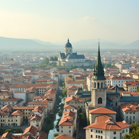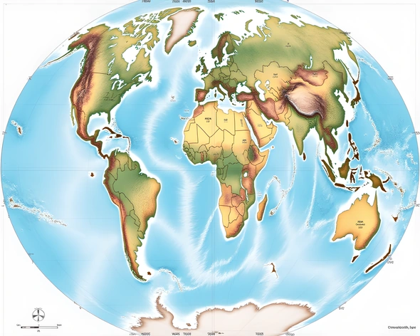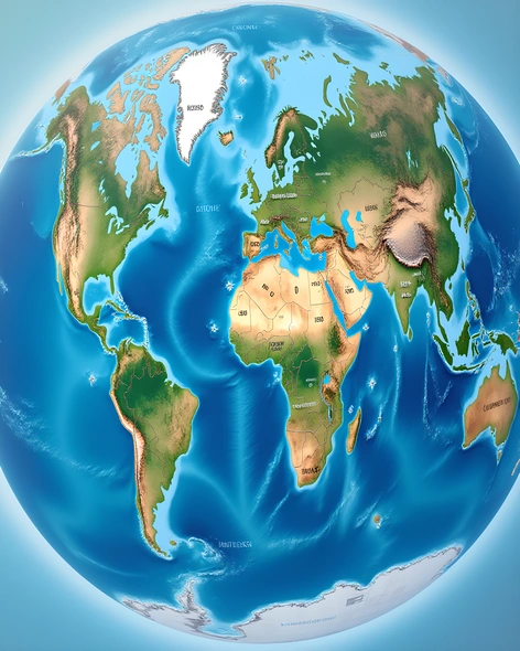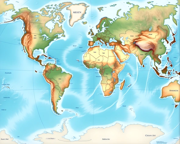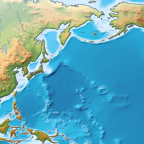
map of the world with seas
Resize and add details
Convert to video
Outpaint the rest of the image
Additional Info
ModelFlux
Seed687900126
Enhanced Promptoceanic basins, continental shelves, major ocean currents, sea surface temperatures, global coastlines, notable straits, famous shipping lanes, significant ports, island nations, coral reefs, marine ecosystems, tidal patterns, atmospheric circulation, wind patterns, climate zones, mountain ranges, rivers, lakes, unique geological formations, historical maritime trade routes, colonial influences, modern-day economic significance, territorial disputes, indigenous cultures, natural resources, endangered species habitats, UNESCO World Heritage Sites, underwater volcanoes, mid-ocean ridges, seamounts, abyssal plains, hydrothermal vents, bioluminescent organisms, ocean acidification, plastic pollution, oil spills, fishing industries, coastal erosion, beach ecosystems, mangrove forests, salt marshes, delta regions, fjords, glaciers, icebergs, Arctic/Antarctic regions, polar bears, penguins, seals, walruses, whales, dolphins, sharks, rays, turtles, octopuses, squids, krill, plankton, phytoplankton, zooplankton, kelp forests, seaweed beds, estuaries, bays, sounds, gulfs, straits, canals, trenches, deep-sea trenches, hadal zone, mesopelagic zone, bathypelagic zone, abyssopelagic zone, pelagic zone, epipelagic zone, neritic zone, littoral zone, sublittoral zone, intertidal zone, supratidal zone, continental shelf break, continental slope, continental rise, oceanic crust, oceanic plate boundaries, transform faults, divergent plate boundaries, convergent plate boundaries, hotspot volcanism, mid-ocean ridge system, backarc basins, forearc basins, marginal seas, epicontinental seas, enclosed seas, semi-enclosed seas, inland seas, sea level changes, glacial isostatic adjustment, post-glacial rebound, eustasy, sea floor spreading, seafloor topography, bathymetry, sonar surveys, satellite altimetry, shipborne radar, autonomous underwater vehicles, remotely operated vehicles, manned submersibles, ocean exploration history, ancient maritime civilizations, navigational tools, cartographic innovations, maritime law, piracy, smuggling, naval warfare, naval architecture, shipbuilding techniques, propulsion systems, sail plans, rigging designs, keels, hull shapes, superstructures, deck layouts, cargo holds, lifeboats, safety equipment, navigation aids, compasses, chronometers, sextants, gyrocompasses, GPS receivers, radar systems, electronic charts, nautical charts, almanacs, tide tables, weather forecasting, storm tracking, ocean modeling, climate change impacts, ocean-atmosphere interactions, El Niño events, La Niña events, PDO cycles, AMO cycles, NAO indices, SOI values, SSTA maps, SST anomalies, SSH anomalies, sea surface height anomalies, ocean heat content, ocean carbon sink, ocean acidification, ocean dead zones, hypoxic zones, oxygen minimum zones, ocean fertilization, ocean acidification mitigation, ocean conservation efforts, marine protected areas, MPAs, marine reserves, national parks, wildlife refuges, fishery management, sustainable seafood, aquaculture practices, ocean governance, international agreements, UNCLOS, MARPOL, CITES, IUCN Red List, ocean literacy, ocean education, ocean research priorities, ocean policy initiatives, ocean advocacy groups, ocean-related news outlets, ocean documentaries, ocean-themed literature, ocean-inspired art, ocean-inspired music, ocean-related tourism, ocean recreation activities, surfing, snorkeling, scuba diving, kayaking, sailing, boat tours, whale watching, dolphin watching, shark cage diving, aquarium visits,