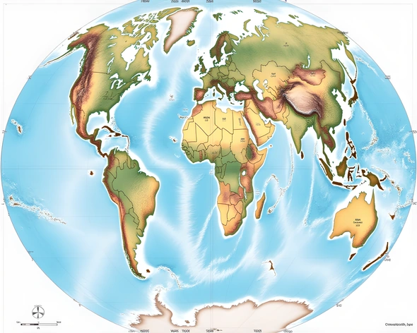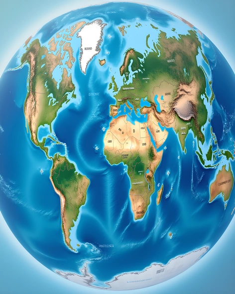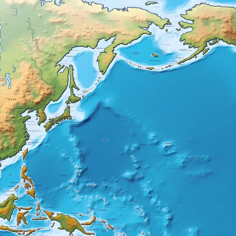
poland in the map of world
Resize and add details
Convert to video
Outpaint the rest of the image
Additional Info
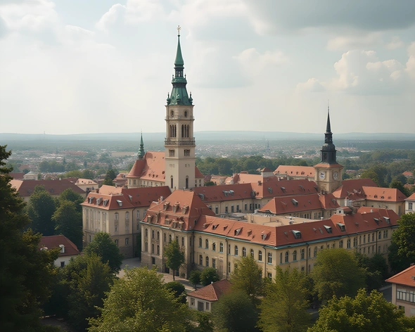
ModelFlux
Seed324608353
Enhanced PromptCentral Europe, Poland, landlocked country, borders Germany, Czech Republic, Slovakia, Ukraine, Belarus, Lithuania, Kaliningrad Oblast (Russia), Baltic Sea, capital city Warsaw, largest city Krakow, population approximately 38 million people, total area 312,679 square kilometers, diverse geography including mountains, forests, lakes, coastlines along the Baltic Sea, Vistula River flowing through the country, temperate climate with cold winters and warm summers, culturally rich heritage influenced by Polish, German, Russian, Ukrainian, and other European traditions, significant historical events include the Piast dynasty, Polish-Lithuanian Commonwealth, Partitions of Poland, World War I and II, communist era under Soviet rule, modern-day democracy since 1989, notable landmarks include Old Town Krakow, Wawel Castle, Auschwitz-Birkenau Memorial and Museum, Tatra Mountains, Masurian Lake District, Polish cuisine featuring pierogi, bigos, zapiekanka, kielbasa, vodka, beer, folk music and dance, traditional clothing including the white and red national colors, football (soccer) being the most popular sport