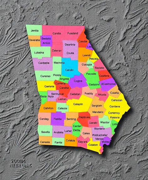
counties in ga map
Resize and add details
Convert to video
Outpaint the rest of the image
Additional Info
Steps29
Samplerddim
CFG Scale9.9
Seed553017316
More Ai art like counties in ga map
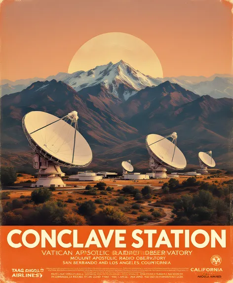
A Retro Themed Travel Poster Advertisment From TAAG Angola Airlines for The Conclave Station Vatican Apostolic Radio Observatory on Mount Baden Powell San Bernardino and Los Angeles Counties California Circa 1980

Wordie Hut Father Lancelot Rodriguez's Abode on Mount Baden Powell San Gabriel Mountain Range in San Bernardino and Los Angeles Counties California United States circa 1980

Conclave Station Vatican Apostolic Radio Observatory Mount Baden Powell San Gabriel Mountain Range San Bernardino and Los Angeles Counties California United States
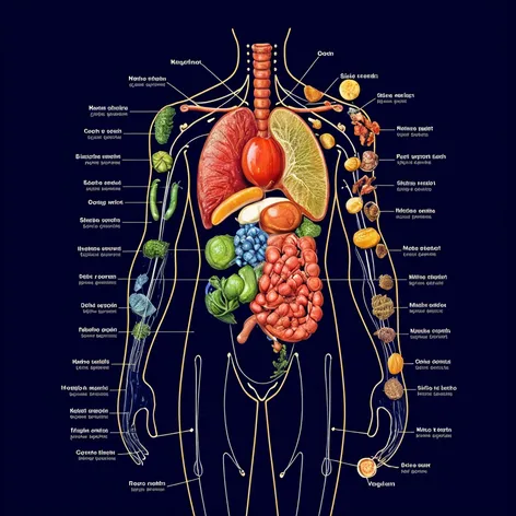
Body map organs vs the perfect natural organic nuttients necesarry for each organ
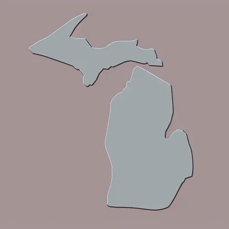
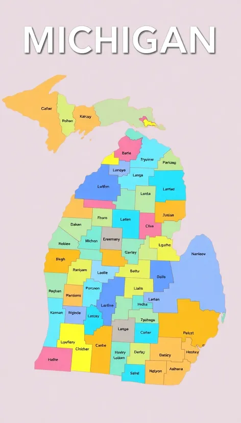
Draw a Michigan map with the upper peninsula with 616 in the middle in the color gray and light blue like the Detroit lions make it animated