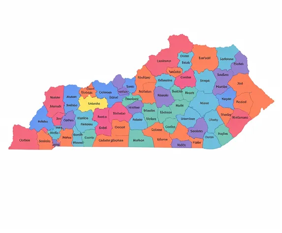
wisconsin counties map
Resize and add details
Convert to video
Outpaint the rest of the image
Additional Info
Steps29
Samplerdpm++
CFG Scale6.6
Seed66445455
Enhanced Promptdetailed map of Wisconsin counties, 72 counties, including Adams, Ashland, Barron, Bayfield, Brown, Buffalo, Burnett, Calumet, Chippewa, Clark, Columbia, Crawford, Dane, Dodge, Door, Douglas, Dunn, Eau Claire, Florence, Fond du Lac, Forest, Grant, Green, Green Lake, Iowa, Iron, Jackson, Jefferson, Juneau, Kenosha, Kewaunee, La Crosse, Lafayette, Langlade, Lincoln, Manitowoc, Marathon, Marinette, Marquette, Menominee, Milwaukee, Monroe, Oconto, Oneida, Outagamie, Ozaukee, Pepin, Pierce, Polk, Portage, Price, Racine, Richland, Rock, Rusk, Sauk, Sawyer, Shawano, Sheboygan, St. Croix, Taylor, Trempealeau, Vernon, Vilas, Walworth, Washburn, Washington, Waukesha, Waupaca, Waushara, Winnebago, Wood, showcasing county boundaries, seats, and geographical features, including rivers, lakes, and forests, highlighting regional differences and unique characteristics, utilizing a traditional map color scheme, with clear typography and concise labeling, suitable for educational, reference, or decorative purposes.