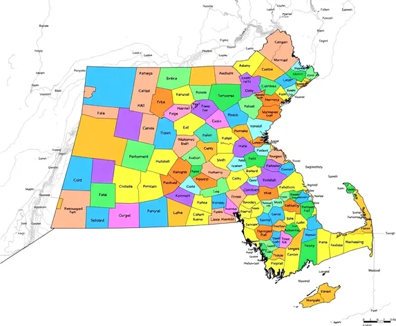
massachusetts counties map
Resize and add details
Convert to video
Outpaint the rest of the image
Additional Info
Steps23
Samplerddim
CFG Scale7.2
Seed68169585
Enhanced Promptdetailed map of Massachusetts, highlighting 14 counties, Barnstable, Berkshire, Bristol, Dukes, Essex, Franklin, Hampden, Hampshire, Middlesex, Nantucket, Norfolk, Plymouth, Suffolk, Worcester, distinct county borders, vibrant colors, geographic features, Cape Cod, Martha's Vineyard, Nantucket Island, Berkshire Mountains, Connecticut River, Merrimack River, Quabbin Reservoir, major cities, Boston, Worcester, Springfield, Lowell, Cambridge, Plymouth, New Bedford, Fall River, accurate scaling, proportional representation, comprehensive labeling, cities, towns, villages, precise typography, high-contrast color scheme, subtle texture, Massachusetts state outline, neighboring states, New Hampshire, Vermont, New York, Connecticut, Rhode Island, 2D visual representation, educational tool, informative guide, geographic reference, regional planning, travel aid, tourism resource, optimized for digital display, JPEG image format, 1500 x 2000 pixels, RGB color mode, 72 dpi resolution, compatible with various devices, desktop computers, laptops, tablets, smartphones.