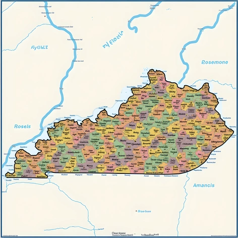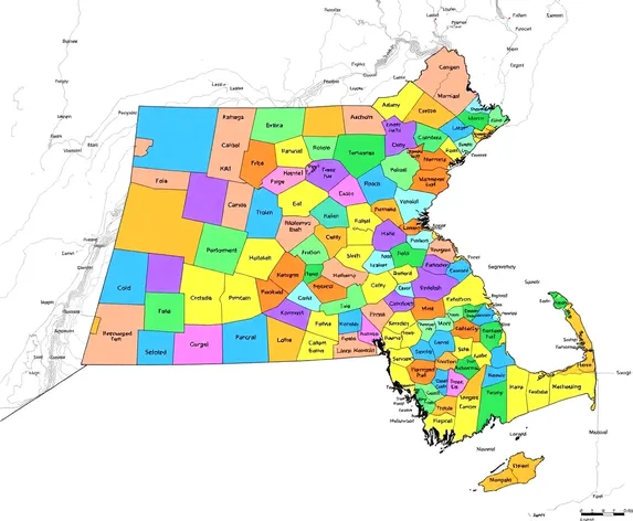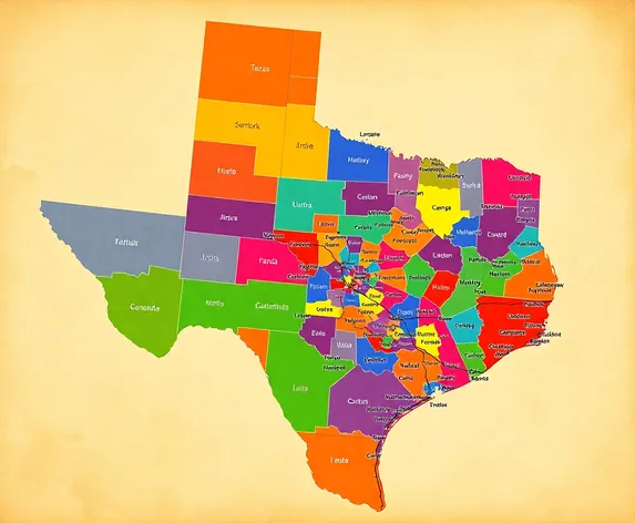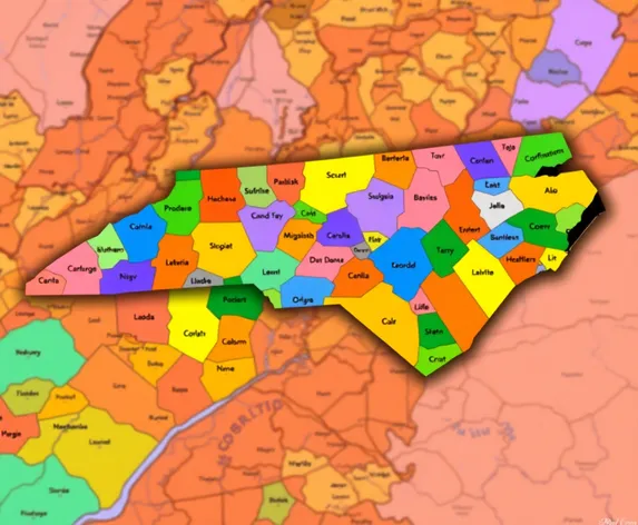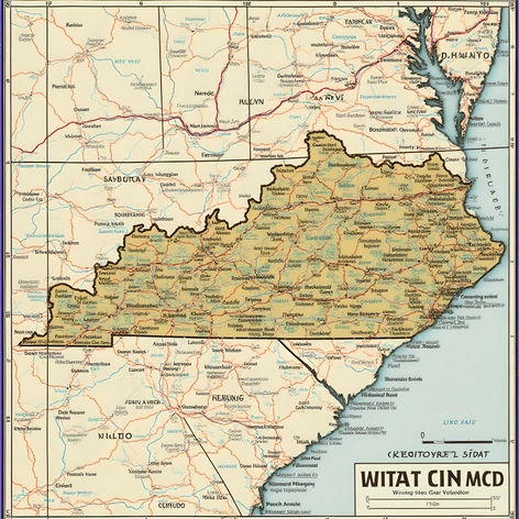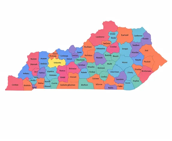
kentucky counties map
Resize and add details
Convert to video
Outpaint the rest of the image
Additional Info
Steps37
Samplerddim
CFG Scale8
Seed784460616
Enhanced Promptdetailed Kentucky counties map, 120 counties, Lexington, Louisville, Bowling Green, Owensboro, Paducah, Frankfort, Somerset, London, Pikeville, Berea, Richmond, Danville, Harrodsburg, Springfield, Bardstown, Lebanon, Campbellsville, Columbia, Monticello, Williamsburg, Corbin, Barbourville, Middlesboro, Harlan, Hazard, Jackson, McKee, Manchester, London, Somerset, Whitley City, Williamsburg, Tompkinsville, Glasgow, Edmonton, Greensburg, Hodgenville, Elizabethtown, Radcliff, Leitchfield, Hardinsburg, Hawesville, Owensboro, Calhoun, Hartford, Madisonville, Hopkinsville, Princeton, Cadiz, Murray, Mayfield, Paducah, Benton, Draffenville, Wickliffe, Marion, Eddyville, Smithland, Burkesville, Albany, Jamestown, Russell Springs, Columbia, Liberty, Stanford, Lancaster, Nicholasville, Versailles, Winchester, Mount Sterling, Morehead, West Liberty, Paintsville, Prestonsburg, Pikeville, Whitesburg, Harlan, Pineville, Middlesboro, Barbourville, Corbin, London, Somerset, Stearns, Whitley City, Williamsburg, Tompkinsville, Glasgow, Edmonton, Greensburg, Hodgenville, Elizabethtown, Radcliff, Leitchfield, Hardinsburg, Hawesville, Owensboro, Calhoun, Hartford, Madisonville, Hopkinsville, Princeton, Cadiz, Murray, Mayfield, Paducah, Benton, Draffenville, Wickliffe, Marion, Eddyville, Smithland, Burkesville, Albany, Jamestown, Russell Springs, Columbia, Liberty, Stanford, Lancaster, Nicholasville, Versailles, Winchester, Mount Sterling, Morehead, West Liberty, Paintsville, Prestonsburg, Pikeville, Whitesburg, Harlan, Pineville, Middlesboro, Barbourville, Corbin, London, Somerset, Stearns, Whitley City, Williamsburg, detailed county lines, county seats, geographic center, total area, land area, water area, population density, highest point, lowest point, time zone, neighboring states, Tennessee, Virginia, West Virginia, Ohio, Indiana, Illinois, Missouri, Arkansas, Mississippi, Alabama, Georgia, North Carolina, South Carolina, map projection, Mercator, WGS84, cartographic representation, 2D, 3D, satellite imagery, vector graphics, raster graphics, high-resolution, printable, downloadable, PDF, JPEG, PNG, shapefile, GeoJSON, KML, KMZ, copyright, Creative Commons, attribution, share-alike, no-commercial, no-derivatives, CC BY-SA 4.0, OpenStreetMap, contributors, data sources, US Census Bureau, US Geological Survey, National Geospatial-Intelligence Agency, National Oceanic and Atmospheric Administration, National Aeronautics and Space Administration, Federal Aviation Administration, US Department of Agriculture, US Department of the Interior, US Department of Transportation, US Department of Commerce, US Department of Energy, US Department of Defense, mapping, cartography, geographic information systems, GIS, spatial analysis, geospatial analysis, remote sensing, photogrammetry, geodesy, surveying, mapping technology, location-based services, LBS, GPS, GNSS, navigation, orientation, direction, distance, scale, legend, key, symbols, colors, fonts, typography, layout, composition, design, aesthetics, visualization, communication, information, data, knowledge, understanding, insight, decision-making, problem-solving, planning, management, monitoring, evaluation, research, science, technology, engineering, mathematics, STEM, education, training, learning, teaching, instruction, curriculum, pedagogy, didactics, methodology, epistemology, ontology, philosophy, ethics, morality, values, principles, standards, norms, conventions, policies, regulations, laws, legislation, governance, administration, management, leadership, coordination, cooperation, collaboration, partnership, participation, engagement, communication, dialogue, discussion, debate, negotiation, mediation, arbitration, conflict resolution, peacebuilding, diplomacy, international relations, foreign policy, global governance, sustainable development, human rights, social justice, environmental protection, climate change, biodiversity, conservation, ecology, ecosystem services, natural resources, renewable energy, energy efficiency, green infrastructure, sustainable agriculture, food security, water management, disaster risk reduction, humanitarian assistance, emergency response, recovery, reconstruction, resilience, adaptability, vulnerability, capacity building, institutional strengthening, community development, social cohesion, inclusivity, diversity, equity, equality, human dignity, well-being, quality of life, happiness, prosperity, economic growth, poverty reduction, inequality, employment, entrepreneurship, innovation, competitiveness, trade, investment, finance, taxation, budgeting, public expenditure, public-private partnerships, corporate social responsibility, philanthropy